Queen Mary University of London
Modular River Survey
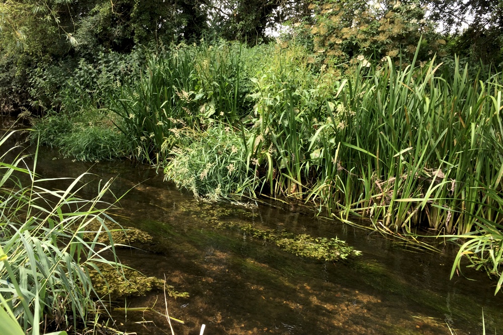
MoRPh is a tool for monitoring the physical quality of river channels and their margins. The MoRPh survey forms part of a modular approach to monitoring the physical character of rivers and how this changes through time and across space. Indicators derived from MoRPh surveys describe different properties of the river's physical habitat mosaic, which is an important control on the organisms that may live in the monitored river reach.
Following one day of training, volunteer surveyors record information on the form, sediments, vegetation structure and human modifications of short river reaches, typically 10m to 40 m in length, allowing their physical quality to be tracked and the way these change in response to restoration and management actions. Individual MoRPh surveys are often used to record the physical habitat around biological monitoring sites, and are particularly helpful for interpreting the habitat of less mobile river organisms such as invertebrate species. By surveying 10 adjacent river lengths, indicators of habitat structure and quality are derived for longer river lengths and so for more mobile organisms, such as fish.
Image credit:
Cartographer map: Channel Physical Habitat Complexity (one of fourteen MoRPh indicators)
![]()
![]()