Westcountry Rivers Trust
Westcountry CSI
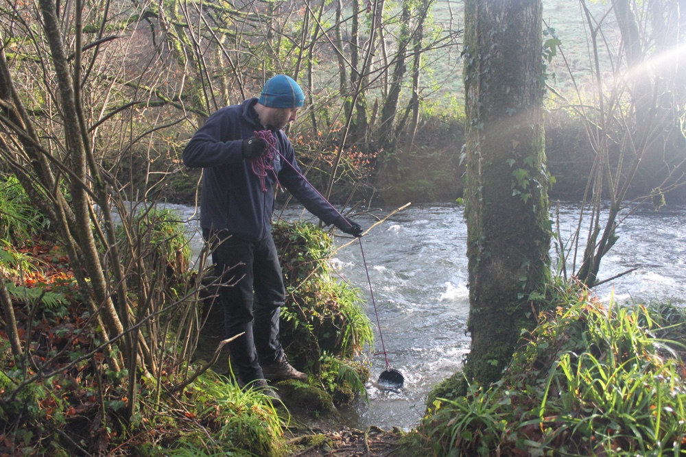
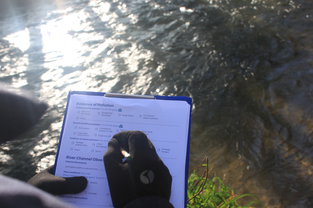
Westcountry Rivers Trust's citizen science project, Westcountry CSI (Citizen Science Investigations), gives people the tools and knowledge to detect signs of healthy (or unhealthy) rivers and streams.
The water quality test results, habitat observations, photos, wildlife sightings and evidence of pollution its volunteers record help WRT to see what's happening in freshwater environments across the region.
Participants add their information to Cartographer, the results are quality checked by WRT staff, and the data is published on an interactive map on the Westcountry CSI website.
Image credit: Westcountry Rivers Trust
Cartographer map: Westcountry CSI
![]()
![]()